The data recorded by a GPS logger typically includes a range of information related to the device’s location and movement.
The specific data logged by a GPS logger may vary depending on the device’s capabilities and setting.
A GPS data logger is a device that can record location and other data, such as speed, altitude and direction, over time.
It can be used for various purposes, including tracking vehicles, monitoring wildlife, conducting field research.
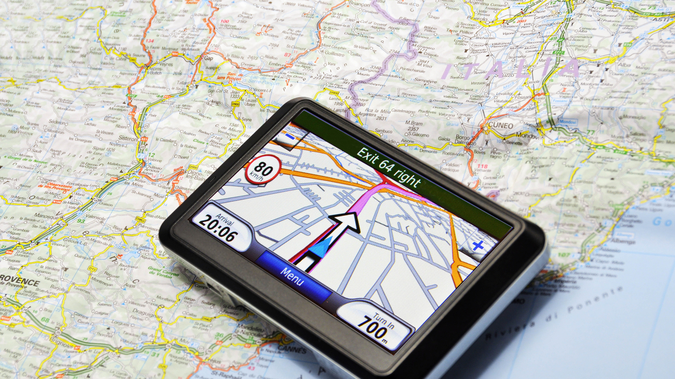
GPS Navigation System Used
The GPS receiver plots the car’s constantly-changing location on an electronic map. The map provides directions to the person’s destination. Both the location and the vehicle are plotted using satellite data. Some hikers use GPS to help them find their way, especially when they are not on marked trails.
Real-Time Tracking
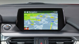
Track the location of your objects (vehicles, people, phones, bikes, etc.) online in real-time. Choose from the following maps: Google, Satellite,OSM etc. View additional information about the tracking objects, including its speed, exact address, petrol consumption, travel history, etc.
Latitude and Longitude
GPS loggers record the geographic coordinates of the device’s location, which include latitude (north-south position) and longitude (east-west position). These coordinates are typically expressed in degrees, minutes, and seconds or decimal degrees.
Google Earth Pro
.
 𝗚𝗼𝗼𝗴𝗹𝗲 𝗘𝗮𝗿𝘁𝗵 𝗣𝗿𝗼 𝗽𝗿𝗼𝘃𝗶𝗱𝗲𝘀 𝗮𝗰𝗰𝗲𝘀𝘀 𝘁𝗼 𝗵𝗶𝗴𝗵𝗲𝗿-𝗿𝗲𝘀𝗼𝗹𝘂𝘁𝗶𝗼𝗻 𝘀𝗮𝘁𝗲𝗹𝗹𝗶𝘁𝗲 𝗶𝗺𝗮𝗴𝗲𝗿𝘆 𝗰𝗼𝗺𝗽𝗮𝗿𝗲𝗱 𝘁𝗼 𝘁𝗵𝗲 𝗳𝗿𝗲𝗲 𝘃𝗲𝗿𝘀𝗶𝗼𝗻.𝗧𝗵𝗶𝘀 𝗰𝗮𝗻 𝗯𝗲 𝗽𝗮𝗿𝘁𝗶𝗰𝘂𝗹𝗮𝗿𝗹𝘆 𝘂𝘀𝗲𝗳𝘂𝗹 𝗳𝗼𝗿 𝗱𝗲𝘁𝗮𝗶𝗹𝗲𝗱 𝗺𝗮𝗽𝗽𝗶𝗻𝗴 𝗮𝗻𝗱 𝘃𝗶𝘀𝘂𝗮𝗹𝗶𝘇𝗮𝘁𝗶𝗼𝗻.o𝗻𝗲 𝗼𝗳 𝘁𝗵𝗲𝗲𝗮𝘀𝗶𝗲𝘀𝘁 𝗮𝗻𝗱 𝗺𝗼𝘀𝘁 𝗶𝗺𝗽𝗿𝗲𝘀𝘀𝗶𝘃𝗲 𝗺𝗮𝗽𝗽𝗶𝗻𝗴 𝘁𝗼𝗼𝗹𝘀 𝗮𝘃𝗮𝗶𝗹𝗮𝗯𝗹𝗲, 𝗮𝗻𝗱 𝗶𝘁’𝘀 𝗮 𝗿𝗲𝗹𝗶𝗮𝗯𝗹𝗲 𝗴𝗼-𝘁𝗼 𝗳𝗼𝗿 𝗽𝗹𝗮𝗻𝗲𝘁 𝘇𝗼𝗼𝗺𝗶𝗻𝗴, 𝗹𝗼𝗰𝗮𝘁𝗶𝗼𝗻 𝗳𝗶𝗻𝗱𝗶𝗻𝗴, 𝗮𝗻𝗱 𝗯𝗮𝘀𝗶𝗰 𝗴𝗲𝗼-𝗮𝗻𝗮𝗹𝘆𝘀𝗶𝘀.
